Proposed Community Boundaries – for possible ratification at GWA AGM in November 2021
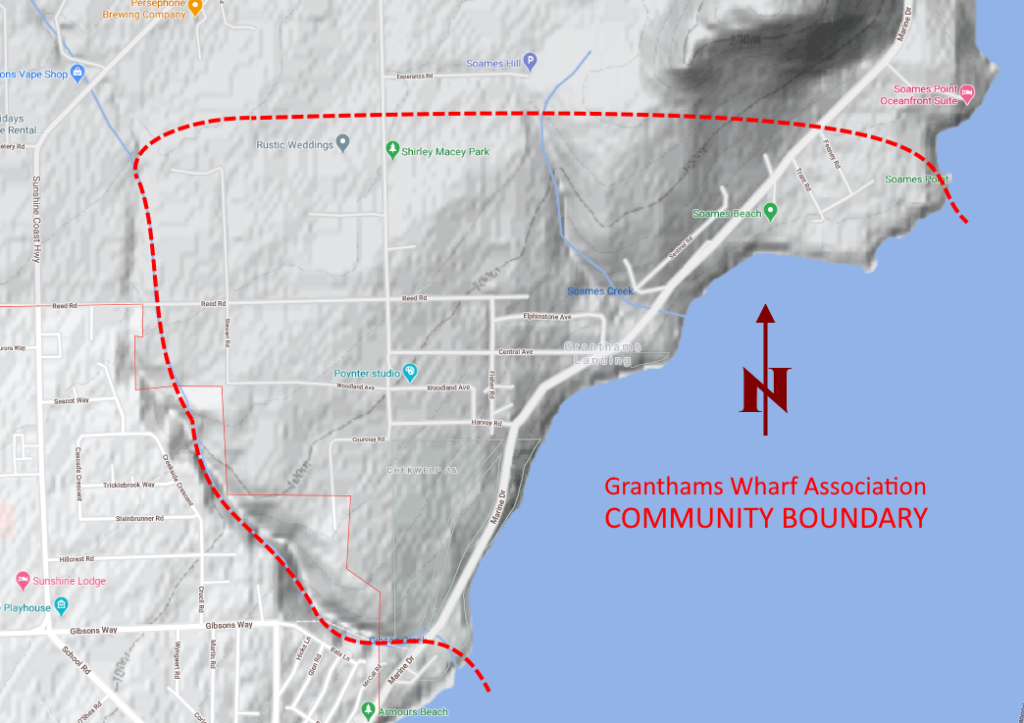
For GWA purposes, the geographic area of the Granthams Landing community is informally defined by these boundaries:
- the shoreline of Howe Sound between Soames Point and the mouth of Gibsons Creek (on the south side of the First Nations land) forms the EAST and SOUTH boundary
- the boundary follows Gibsons Creek on the SOUTH and WEST sides, until it reaches the north end of Stewart Road;
- and the boundary then turns due EAST, passes on the south side of Soames Hill, and crosses Marine Drive just north of its intersection with Feeney Road;
- and then returns to the tip of Soames Point; segments 3 and 4 together form the NORTH boundary.
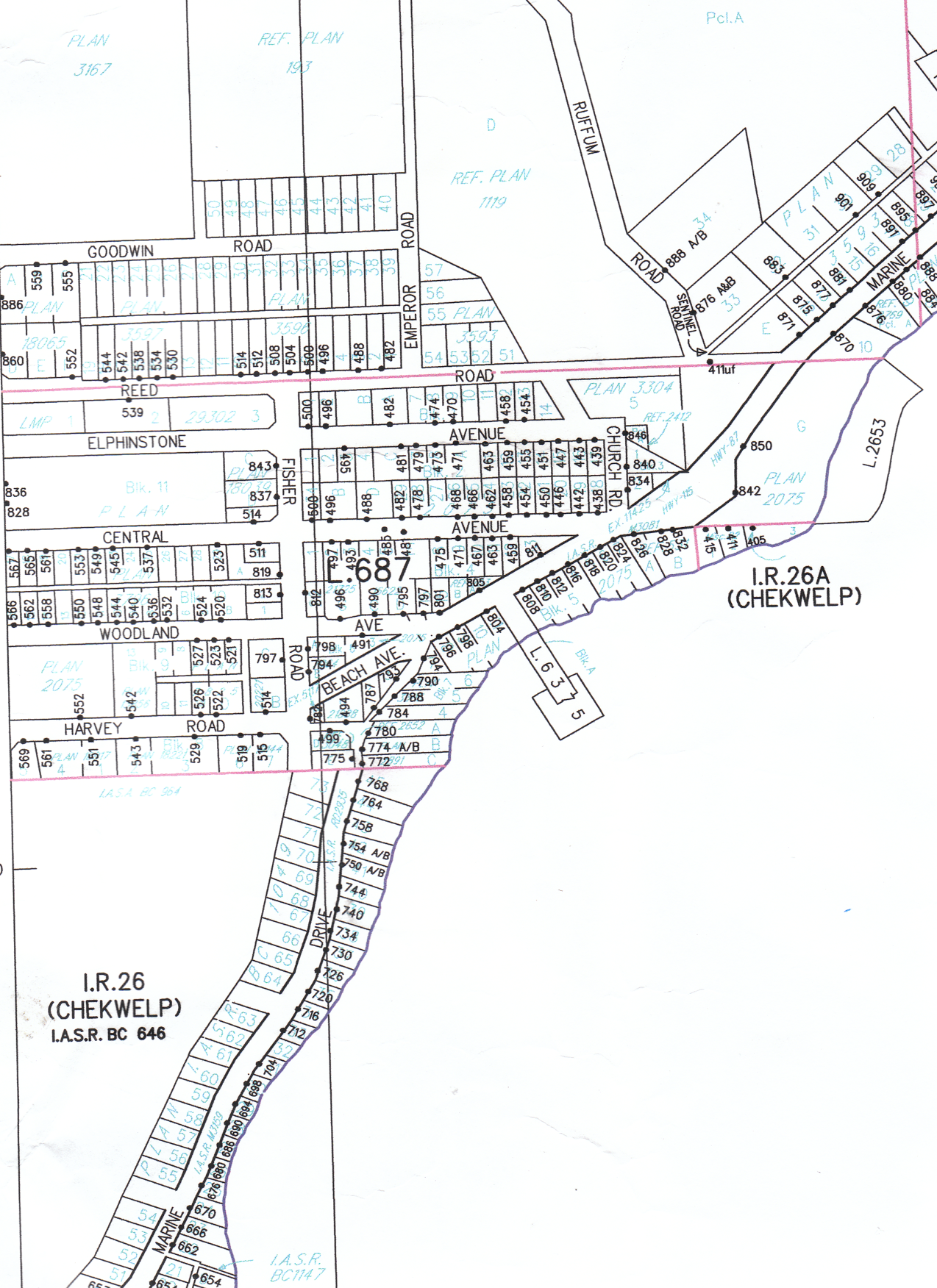
Old lot plan of Grantham's Landing (below).
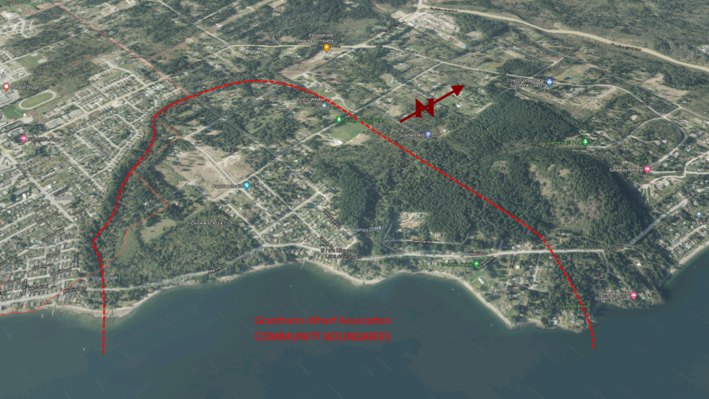
Bird’s eye view of Grantham’s Landing (view on Google Maps).
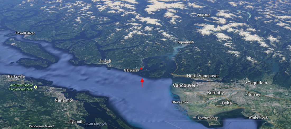
Location of Grantham’s Landing (center, close to Gibsons) and Sunshine Coast (upper left) in relation to the Lower Mainland (lower right) and a portion of Vancouver Island (lower left). Georgia Strait is the main body of water with Howe Sound (said to be the most southerly fiord on the west coast of North America) extending from Bowen Island up to Squamish.